


- Title
- Myanmar Land Use
- License
- MIMU Data License (MIMU)
-
+ The MIMU data license based on the UN stats data license
+ For more info see http://themimu.info/license/. - Abstract
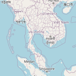
Land use in Myanmar from UNEP 2000 data.
- Publication Date
- Jan. 1, 2000, midnight
- Type
- Vector Data
- Keywords
- polygon , myanmar , land-use
- Category
- Environment
- environmental resources, protection and conservation. Examples: environmental pollution, waste storage and treatment, environmental impact assessment, monitoring environmental risk, nature reserves, landscape
- Regions
- Myanmar
- Owner
- mimu
- Restrictions
- REQUIRED: Restrictions and legal prerequisites for using the data set after access is granted.
- Purpose
This dataset was published by MIMU to provide accessible national base GIS information.
- Language
- English
- Supplemental Information
No information provided
- Spatial Representation Type
- vector data is used to represent geographic data


Comments (0 total)
Log in to add a comment